Pulilan Bulacan, Philippines
1. Topographical and Hydrogeological Features:
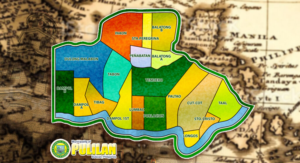
The Municipality of Pulilan is generally of flat topography. Eleven (11) of its barangays ara bounded by the Angat River. The rest are irrigated rice lands.
2. Boundaries:
- Northwest – Apalit
- West – Calumpit
- South – Plaridel
- Northeast – Baliwag
3. Soil Types:
Soil types vary from sandy loam to clay loam which makes the Municipality suitable to a wide range of agricultural products.
4. Status of Land Classification
| Land Type | Area |
|---|---|
| A. Forest Land: Production Forest | |
| Protection Forest | None |
| Non-Forest (Agri) | None |
| Non-Forest (Mining) | None |
| B. Alienable & Disposable Land | |
| Protection Lands | 20.80 has. |
| Production Lands | 2,541.0 has. |
| – Irrigated Rice | 2,541.0 has. |
| – Fishpond | 5.0 has. |
| – Cultivated Annual | 60 has. |
| – Crops | – |
| – Perennial Tree and Vine Crops | 150 has. |
| – Pastures | – |
| Fisheries Build Up Areas | 5.0 has. |
| – Urban Center | 74.0 has |
| – Large Institutions | 32.0 has. |
| – Industrial Areas | 6.8 has. |
| – Tourist Area | 4.5 has. |
| – Other Residentials | 436.0 has |
| – Others | 737.9 has. |
| C. Mining Areas/Reservations | |
| Within forest land and alienable and disposable land | None |
| D. Military and Civil Reservations | |
| Within forest land and alienable and disposable land | None |
5. Existing Municipal Land Use
| Area | % to Total | |
|---|---|---|
| Residential | 9.9752 | 24.49% |
| Agricultural | 27.9224 | 68.55% |
| Commercial | 0.6588 | 1.62% |
| Industrial | 1.8670 | 4.58% |
| Institutional | 0.3066 | 0.76% |
Total Land Area: 40.73 sq. kilometers or 4,073 hectares
Total Area Reclassified as of 200: : 874,877.68 sq.m or 87.4878 hectares